The science of measuring carbon in forests and soils
Because trees suck heat-trapping carbon out of the atmosphere, forests are often seen as a nature-based solution to climate change. But a stubborn technical question dogs efforts to calculate the value of forest-based carbon offsets or credits: How much carbon do forests actually hold – above and below ground – and how certain are scientists of the answer?
Current estimates suggest that trees around the world store roughly as much carbon as the atmosphere. “It’s a large stock and it’s one that we need to take good care of,” says Missy Holbrook, the Charles Bullard Professor of Forestry, because if that carbon were released, “we would be in big trouble in terms of the thermal balance of our planet.”
By contrast, soils are thought to hold more carbon than all the world’s vegetation and the atmosphere combined, even if the exact figures remain uncertain. And the carbon doesn’t always stay below ground.
The accounting is tricky. Scientists can measure tree trunks, branches, and canopies with increasing precision, but below ground the challenge grows steeper. Benton Taylor – associate professor of organismic and evolutionary biology, who studies how forests respond to global change – describes soil as “an opaque matrix,” likening the work of measuring underground carbon to counting the trees in a forest while blindfolded.
Without credible measurements of carbon in wood, roots, and soil – and the flows of carbon in and out – it becomes much harder to know what forests are truly sequestering, how much warming they are helping to avert, and whether the climate benefits claimed by policy and carbon markets are real.
Seeing the carbon for the trees
Starting above ground, the classic method for calculating the carbon stored in forests is to go into the woods and measure trees by hand, recording diameter, species, height and health, then use equations to convert those figures into estimates of volume and carbon by weight. The U.S. Forest Service’s national forest carbon estimates are based on data from this type of measurement at approximately 355,000 plots across the country, or roughly one per 6,000 acres.
But even very good forest inventories leave large gaps and key uncertainties.
A newer tool used in conjunction with the Forest Service plots is LiDAR (Light Detection and Ranging), which uses laser pulses to collect data sets called point clouds that can build detailed three-dimensional representations of trees from the ground, drones, aircraft, and satellites. LiDAR lets scientists move beyond trunk diameter and begin seeing “whole shapes and sizes,” says Holbrook. But, she cautions, “not all trees have the same carbon density inside their wood.” And trees are growing, changing shape all the time.
The newest, most advanced tools use machine learning to combine satellite imagery, point clouds, and field-plot observations to interpolate forest carbon across the landscape.
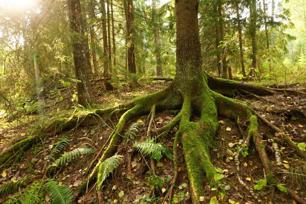
Digging in the dark
Compared with carbon in plants, “soil carbon tends to stick around longer,” says Taylor, making it “an enticing, effective way to capture and store carbon long-term.”
Carbon enters soils through decomposing leaves, dying roots and trees, and a steady underground transfer from roots and fungi. It exits through microbial respiration (microbes exhale CO2, just like we do), erosion, and fire.
Some of that carbon is stored as particulate organic matter – bits of leaves, twigs, and roots that microbes can consume and return to the atmosphere. But other carbon atoms bind themselves to minerals, becoming something called “mineral-associated organic matter” – this can remain in the soil for centuries or even millennia.
Underground, measuring tools are less advanced. Scientists can take soil cores, monitor carbon dioxide fluxes with chambers, or build simulation models, but each method has limits: cores show quantity, not process; fluxes show process, but not full balances; and models lack enough data. Remote sensing is improving, Taylor says, but “we’re really not quite there yet.”
The clearest lesson, he explains, is to disturb soils and wetlands as little as possible. Draining wet, low-oxygen areas or thawing northern soils can expose buried carbon to microbes and send more of it back into the atmosphere. “High latitude systems like boreal forests and the tundra store lots of carbon down in the soils,” Taylor says, noting that the Arctic is warming three or four times faster than the rest of the planet. “Even slight changes to this large reservoir can have big impacts on the global carbon balance.”
The count is improving, but not complete
Forests are critical to a balanced carbon cycle. But the scientific drama lies in the counting – in the effort to say, with confidence, how much carbon forests hold, how much they are still taking up, and how much of that picture remains uncertain.
Holbrook is trying to make the visible forest legible at scale. Taylor is trying to make the invisible forest legible at all.
The limits remain important to acknowledge, Holbrook argues: “While scientists are in consensus about many things, there are a lot of things we don’t know well enough. And this idea of how much carbon at the global scale is being taken up by terrestrial ecosystems is clearly a question for which we need better answers.”